

Verified Colombian Restoration Projects
Real-time biophysical monitoring of Andean cloud forests and Amazonian basins, backing liquid cryptographic assets with audited ecological data.
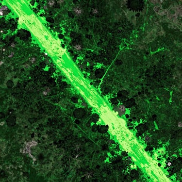
Active Canopy Metrics
Every hectare is mapped with georeferenced coordinates and monitored via satellite telemetry to guarantee verifiable carbon sequestration.
1,240 Hectares
3,850 Hectares
980 Hectares
Regenerating Andean cloud forest corridor connecting fragmented habitats. Monitored via active canopy telemetry.
High-density primary forest preservation and buffer zone restoration. Integrated with smart contract ledger.
Wetland and riparian forest restoration focusing on native bamboo and critical hydrological corridors.

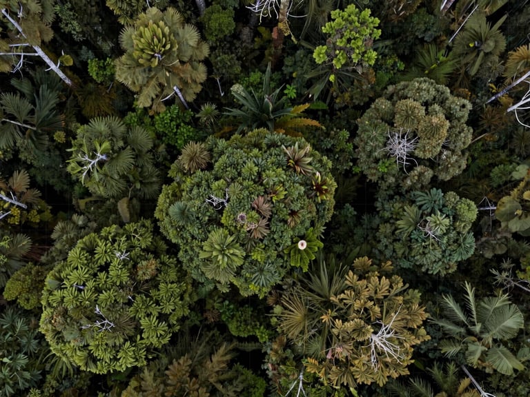
Orthomosaic Satellite Imagery
High-resolution orthomosaics and multispectral imaging capture the precise canopy density and biomass growth across our active restoration corridors.


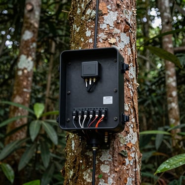
On-Ground Botanical Verification
Local Colombian communities execute precise botanical restoration, pairing indigenous ecological knowledge with rugged telemetry hardware installed directly in the regenerating canopy.