
On-Chain Ecological Truth
We replace speculative offsets with real-time biophysical monitoring. Every token represents a georeferenced coordinate of regenerating Colombian cloud forest, verified by continuous satellite telemetry.
05° 42' N
75° 12' W
Continuous Canopy Tracking
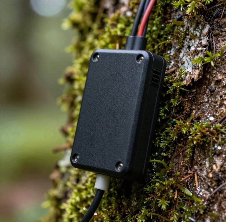
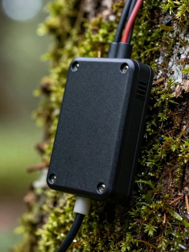
Our field hardware monitors forest growth from the forest floor to the upper canopy, transmitting real-time biophysical data directly to the blockchain.
Hardware in the Canopy
Rugged telemetry nodes installed on native trees measure sap flow, microclimate metrics, and acoustic biodiversity indicators. This on-the-ground telemetry ensures our carbon yield calculations are mathematically irrefutable.
Data is compiled hourly and broadcasted via satellite uplink, providing a continuous ledger of ecological health.
High-Fidelity Reforestation Protocols
We reject monoculture plantations. Our restoration methodology is designed by Colombian botanists to rebuild complex, biodiverse Andean cloud forests.
Species Selection
Satellite Audits
On-Chain Minting
We propagate thirty native tree species, focusing on threatened Andean timber and pioneer flora to accelerate natural canopy succession.
Verified ecological gains trigger smart contracts to mint carbon tokens, routing liquidity directly to local restoration stewards.
High-resolution orthomosaics map canopy density and crown area growth, verifying carbon sequestration rates from orbit.
All ecological data, satellite imagery, and smart contract addresses are publicly accessible for independent scientific audit.